


It seems we can’t find what you’re looking for. Perhaps searching can help.
Built for Real World Execution
Empowering end to end mapping workflows, from field data collection through image processing and cartographic production
![]()
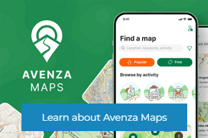
Advanced offline mapping, data collection, and location tracking

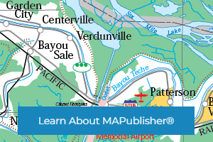
Powerful cartography and GIS
software for Adobe Illustrator®

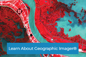
Spatial imaging tools for
Adobe Photoshop®