My Account     Contact Us     Cart

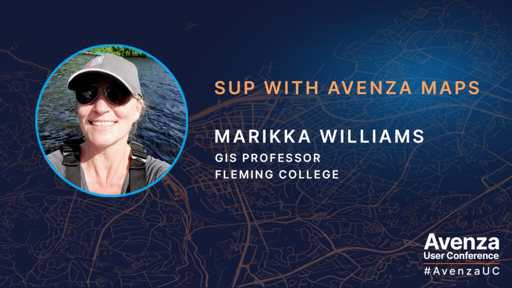
UC Spotlight: SUP with Avenza Maps

With over 20 years of GIS experience, Marikka Williams is well-versed in spatial data and the mapping technologies used to visualize it. Last summer, she applied these skills while exploring Canoe Lake in Algonquin Provincial Park on a stand up paddle board (SUP), using the Avenza Maps app to track her offline adventure. Later, she imported her data into MAPublisher to create a custom memory map of her excursion. She shared her process at this year’s Avenza User Conference.

In her presentation, Marikka walked us through each step of her map-making process. She began by collecting points of interest during her journey, adding placemarks along her route using the Avenza Maps app. Afterward, she exported the data as a KML file, then imported it into MAPublisher for further enhancement. Marikka showcased various MAPublisher tools, such as the MAP View Editor, Stylesheet Themes, and the MAPublisher LabelPro add-on, which she used to bring her map to life. She further enriched her work with Geographic Imager, using recent Landsat imagery to add depth and accuracy to her map, verifying her vector data against real-world details. At the end of her presentation, Marikka shared her final cartographic product with us!

Check out the full video of Marikka’s presentation at Avenza UC 2024!

About Avenza UC

The Avenza User Conference is an opportunity to discover exciting new developments with Avenza’s GIS and cartographic solutions and to connect with peers and Avenza team members. Avenza users and staffers from around the globe meet virtually each May to learn what’s new with Avenza Maps, MAPublisher, Geographic Imager, and the Avenza Map Store, and see how they are being used to map our world.

The Avenza User Conference is an free annual event that grows each year with incredible speakers and participants. Get inspired by mapping and industry professionals by joining us for #AvenzaUC2025. Find more information here about next year’s conference taking place on May 8th, 2025.

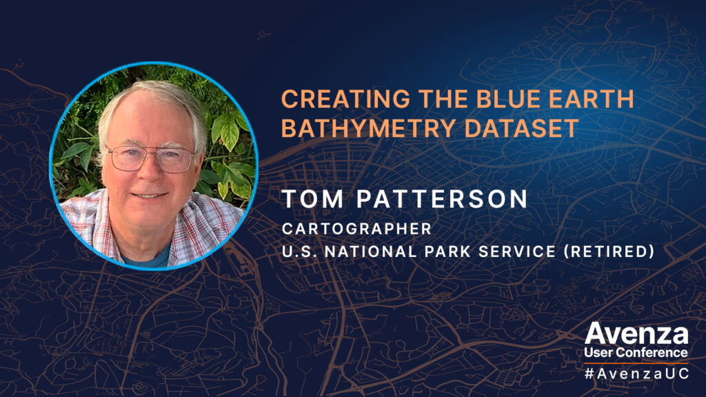
UC Spotlight: Creating the Blue Earth Bathymetry Dataset

Tom Patterson continues to provide the Cartography community with valuable knowledge and data! This year at the Avenza User Conference 2024, Tom presented to us how he created the Blue Earth Bathymetry raster dataset with the help of Geographic Imager and Adobe Photoshop.

Blue Earth Bathymetry is an edited version of GEBCO (General Bathymetric Chart of the Oceans), a public domain dataset that combines ocean bottom and land elevation data of the entire world. Since GEBCO was derived from a mix of data sources, it contains noisy artifacts. Tom created Blue Earth as a cleaner alternative for making small-scale maps of the seafloor. Tom utilized an unorthodox editing procedure which is unique to Adobe Photoshop and Geographic Imager to remove artifacts and create smoother looking bathymetry. Blue Earth Bathymetry is available for free as a GeoTIFF DEM at 60-arc second resolution (21,600 x 10,800 pixels), as opposed to the original resolution of GEBCO which is 15-arc seconds. This dataset is great for small-scale mapping!

Watch the video of Tom’s full presentation at the Avenza UC 2024 and visit the Shaded Relief website to download and learn more about the Blue Earth Bathymetry dataset!

About Avenza UC

The Avenza User Conference is an opportunity to discover exciting new developments with Avenza’s GIS and cartographic solutions and to connect with peers and Avenza team members. Avenza users and staffers from around the globe meet virtually each May to learn what’s new with Avenza Maps, MAPublisher, Geographic Imager, and the Avenza Map Store, and see how they are being used to map our world.

The Avenza User Conference is an free annual event that grows each year with incredible speakers and participants. Get inspired by mapping and industry professionals by joining us for #AvenzaUC2025. Find more information here about next year’s conference taking place on May 8th, 2025.

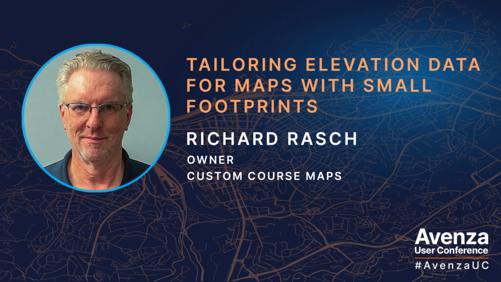
UC Spotlight: Tailoring Elevation Data for Maps with Small Footprints

As an avid disc golfer, Richard Rasch has been mapping disc golf courses since 2000, and with the help of MAPublisher since 2001. Richard uses LIDAR elevation in the creation of these large scale maps because of its high level of detail. Its for this reason that LIDAR data is considered revolutionary for many aspects of cartography.

In his presentation, Richard demonstrates how he incorporates LIDAR data into his workflow of making disc golf course maps and tee signs. He shows us how he uses QGIS with MAPublisher to create layers to achieve the correct view for multiple small-footprint course maps. Creating these maps often involves visiting the disc golf courses in person and collecting data for the locations of each tee and hole, as well as the distance and direction/path of each fairway. These types of maps are not always oriented with north at the top so adding base layers like hillshade involves a few extra steps.

Watch the video of Richard’s full presentation at the Avenza UC 2024 and visit his website to check out many more examples of his custom disc golf course maps!

About Avenza UC

The Avenza User Conference is an opportunity to discover exciting new developments with Avenza’s GIS and cartographic solutions and to connect with peers and Avenza team members. Avenza users and staffers from around the globe meet virtually each May to learn what’s new with Avenza Maps, MAPublisher, Geographic Imager, and the Avenza Map Store, and see how they are being used to map our world.

The Avenza User Conference is an free annual event that grows each year with incredible speakers and participants. Get inspired by mapping and industry professionals by joining us for #AvenzaUC2025. Find more information here about next year’s conference taking place on May 8th, 2025.
UC Spotlight: Importing XYZ Tiles into MAPublisher Documents

Many cartographers have faced this dilemma: your map needs an extra bit of vector information, such as a missing road, but adding it would involve finding, importing, and sifting through huge datasets. Tom Patterson joined us at Avenza UC 2023 to present an easier solution to this problem with the help of QGIS. Tom showed us a simple way to add satellite images and/or raster reference maps, available as XYZ tiles, to our documents in MAPublisher. The imported images will register with your map regardless of which projection it uses. You can then use these images to manually digitize the missing data on your map in just a few minutes. With a little back and forth between MAPublisher and QGIS, from where the XYZ tiles are exported, you can fill in the gaps in your cartographic data in no time!

Tom demonstrates in his presentation how he would use satellite data from Google or Bing to complete a portion of the coastline of southwestern Tasmania. This method is also how he makes updates to the Natural Earth datasets he maintains on his website.

Check out the video of Tom’s full presentation at the Avenza UC 2023!

About Avenza UC

The Avenza User Conference is an opportunity to discover exciting new developments with Avenza’s GIS and cartographic solutions and to connect with peers and Avenza team members. Avenza users and staffers from around the globe meet virtually each May to learn what’s new with Avenza Maps, MAPublisher, Geographic Imager, and the Avenza Map Store, and see how they are being used to map our world.

The Avenza User Conference is an free annual event that grows each year with incredible speakers and participants. Get inspired by mapping and industry professionals by joining us for #AvenzaUC2025. Find more information here about next year’s conference taking place on May 8th, 2025.
UC Spotlight: Géom@tique, Cartography in the French-speaking World

Géom@tique was founded at the end of the 1990s by introducing, for France and French-speaking countries, the distribution of MAPublisher for Adobe Illustrator. Through its position as a Value Added Reseller of Avenza products, Géom@tique is in contact, on a daily basis, with a wide variety of users who all have the desire to produce beautiful maps. With their vast knowledge of geomatics, they distribute our software, provide technical support, as well as certified training for Francophone users (one of their French MAPublisher trainings is coming up very soon). At this year’s Avenza User Conference, our friends Sophie-Anne and Alain presented with us an overview of how Géom@tique operates in France and, most importantly, highlighted the cartographic productions of some of the loyal and talented French-speaking users of MAPublisher and Geographic Imager they communicate with frequently.

Check out the video of Sophie-Anne and Alain’s full presentation at the Avenza UC 2023!

About Avenza UC

The Avenza User Conference is an annual free virtual conference for map makers, GIS enthusiasts, and geospatial professionals worldwide who share a common interest in Avenza mapping technology. The conference includes a combination of virtual sessions led by experts who will share their experiences with Avenza mapping products.

The Avenza User Conference is an annual event that grows each year with incredible speakers and participants. Get inspired by mapping and industry professionals by joining us for #AvenzaUC2024. Register here for next year’s conference taking place on May 9th, 2024.

UC Spotlight: Mapping in the Wild

Getting started with MAPublisher can be a daunting task, especially if you don’t have a background in cartography. Unfortunately, that’s exactly what the staff at SafariBookings, the largest marketplace for African safaris, was facing. But with the help of Red Geographics they were able to quickly learn how to use MAPublisher to create their own maps. At the Avenza User Conference in May of this year, Hans van der Maarel, the owner of Red Geographics presented to us how this amazing feat was achieved. Hans is a long-time partner of Avenza and user of MAPublisher and Geographic Imager. He uses the products for a wide range of cartographic projects for international clients and offers training courses and consultancy projects aimed at developing workflows for clients. In addition to that, he is currently a board member of NACIS.

By using MAPublisher together with open data, Hans and his team were able to swiftly get SafariBookings up and running and producing their very own maps. They worked with two members of the SafariBookings team, both of whom had previous graphic design and Adobe Creative Cloud experience, but were not experienced with GIS or cartography. Red Geographics offered them a personal training plan and helped them source data allowing them to start producing high-quality maps in less than a month.

Check out the video of Hans’s full presentation at the Avenza UC 2023!

About Avenza UC

The Avenza User Conference is an annual free virtual conference for map makers, GIS enthusiasts, and geospatial professionals worldwide who share a common interest in Avenza mapping technology. The conference includes a combination of virtual sessions led by experts who will share their experiences with Avenza mapping products.

The Avenza User Conference is an annual event that grows each year with incredible speakers and participants. Get inspired by mapping and industry professionals by joining us for #AvenzaUC2024. Register here for next year’s conference taking place on May 9th, 2024.

UC Spotlight: Vector Basemaps in MAPublisher!

At the annual Avenza User Conference a few months ago, one of our very own Avenza team members Riley Sweeney gave us a preview of the new Vector Basemaps tool for MAPublisher. As a member of the quality assurance team, Riley’s expertise was instrumental in the development of Vector Basemaps.

In this presentation, Riley gives us a sneak peek into the exciting future of MAPublisher. Her presentation sparks new ideas of how a map can be started, created, or even finished with the Vector Basemaps tool. Riley leads us through a demonstration of the functionality and workflow possibilities this new feature holds. The special thing about the Vector Basemaps tool is that you don’t need to be an experienced GIS user or cartographer to quickly get the hang of it. It is the perfect tool for those with Illustrator experience who are looking to get into the art of cartography. Hang tight, Vector Basemaps are coming very soon to MAPublisher!

Check out the video of Riley’s full presentation at the Avenza UC 2023!

About Avenza UC

The Avenza User Conference is an annual free virtual conference for map makers, GIS enthusiasts, and geospatial professionals worldwide who share a common interest in Avenza mapping technology. The conference includes a combination of virtual sessions led by experts who will share their experiences with Avenza mapping products.

The Avenza User Conference is an annual event that grows each year with incredible speakers and participants. Get inspired by mapping and industry professionals by joining us for #AvenzaUC2024. Register here for next year’s conference taking place on May 9th, 2024.

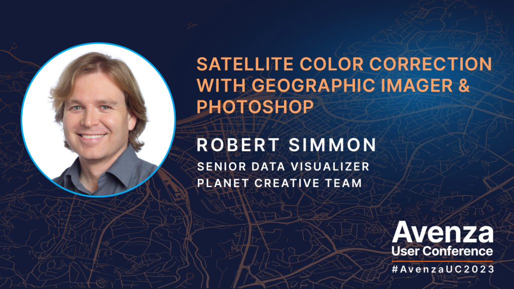
UC Spotlight: Satellite Color Correction with Geographic Imager

Last month at the annual Avenza User Conference, we had the pleasure of hearing from Robert Simmon, a renowned cartographer and science communicator who specializes in visualizing imagery from satellites. Robert is currently approaching a decade working for Planet Labs, where he helps create near-daily medium-resolution imagery of the Earth, maps Planetary Variables and designs bespoke graphics for media. Prior to his work at Planet Labs, he co-created the NASA Earth Observatory, a website dedicated to communicating Earth and remote sensing science. His work has appeared in newspapers, magazines, and websites, including the front page of the New York Times and the cover of National Geographic. He is also known for crafting the Blue Marble featured on the original Apple iPhone.

In this presentation, Robert demonstrates his workflow to import high-bit-depth scientific data into Adobe Photoshop and transform it into accessible & readily displayable imagery. These techniques rely on Geographic Imager‘s unique capabilities to exploit the georeferencing embedded in common data formats. This unlocks Photoshop’s powerful image processing tools which can produce higher-quality output than typical GIS and image processing software, all while maintaining the precise location of every pixel. The presentation touches on processes such as reordering bands, blending scenes, color correction with curves, vibrance enhancement, and sharpening.

Check out the video of Robert’s full presentation at the Avenza UC 2023!

About Avenza UC

The Avenza User Conference is an annual free virtual conference for map makers, GIS enthusiasts, and geospatial professionals worldwide who share a common interest in Avenza mapping technology. The conference includes a combination of virtual sessions led by experts who will share their experiences with Avenza mapping products.

The Avenza User Conference is an annual event that grows each year with incredible speakers and participants. Get inspired by mapping and industry professionals by joining us for #AvenzaUC2024. Register here for next year’s conference taking place on May 9th, 2024.

News Archive