


Avenza Resources Blog
One of Adobe Illustrator’s powerful yet occasionally confusing features is the ability to apply fills,…
The MAPublisher FME Auto add-on connects the analysis and processing capabilities of Safe Software’s FME…
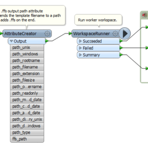
Drawing inspiration from this Safe software blog post we have developed an FME workflow that…
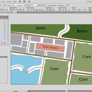
Creating multiple maps that share cartographic styling is a common requirement for MAPublisher users. The…
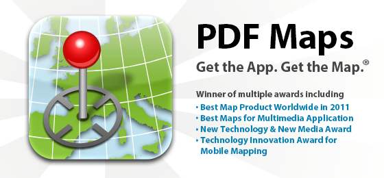
#1 – It’s free! PDF Maps accounts are free for personal use. #2 – It’s…
Ever have the problem that you want to make a map and you are waiting…
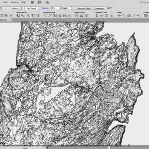
The Mosaic function in Geographic Imager merges multiple georeferenced images together to create a single…
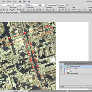
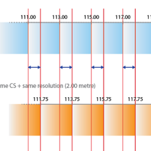
Have you ever imported data that doesn’t quite line up how you’d expect? It may…
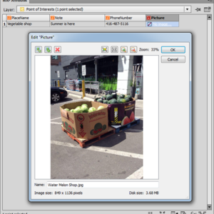
Do you have pictures and images you want to insert as an attribute in MAPublisher?…
- « Previous Page
- 1
- …
- 18
- 19
- 20
- 21
- 22
- …
- 26
- Next Page »