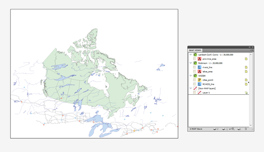
When first creating a map, very often you will find yourself having to align GIS data, especially if it is found or supplied by various sources. You might find that the coordinate systems assigned to each of the datasets might be different. This can prove challenging for many cartographers and GIS users. However, with MAPublisher, you can transform and align your datasets to one coordinate system very easily using the MAP Views panel.
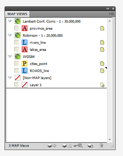
For example, we have five layers with three different coordinate systems. After importing them into MAPublisher, the result is three different MAP Views. The MAP Area layer (Province) is in a Lambert conformal conic projection. The MAP Line Layer (river) and MAP Area layer (lake) are in a Robinson projection. Lastly, the MAP Point layer (cities) and MAP Line layer (roads) are in a geodetic coordinate system WGS84.
Let’s decide that the map we are creating here will have a Lambert conformal conic projection (the MAP View with the province area layer). Now, simply select the two layers in the Robinson MAP View, then drag them to the “Lambert Conf. Conic – 1: 30,000,000” MAP View.
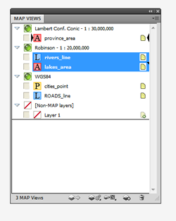
The rivers and lakes layers are now transformed and aligned to the province boundary layer.
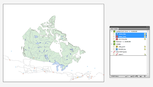
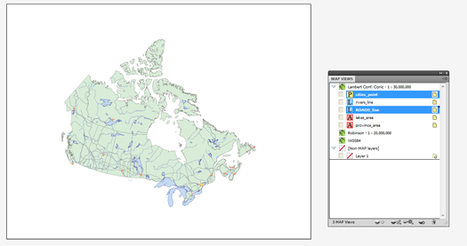
We will do the same for the cities and roads layers in the “WGS84” MAP View. Select the two map layers (cities and roads layers) then drag them to the “Lambert Conf. Conic – 1: 30,000,000” MAP View.
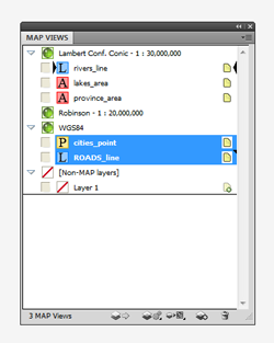
The cities and roads layers are projected on-the-fly. Now every layer is transformed to a Lambert conformal conic projection and aligned appropriately.


