Get both MAPublisher and Geographic Imager as a GeoStudio bundle – the ideal mapping solution for working with both vector and raster data in Adobe Creative Cloud. Save when purchased together!
For multiple people to share a license. Number of licenses equals number of simultaneous users.
Create Maps With Geospatial Data in Adobe Illustrator
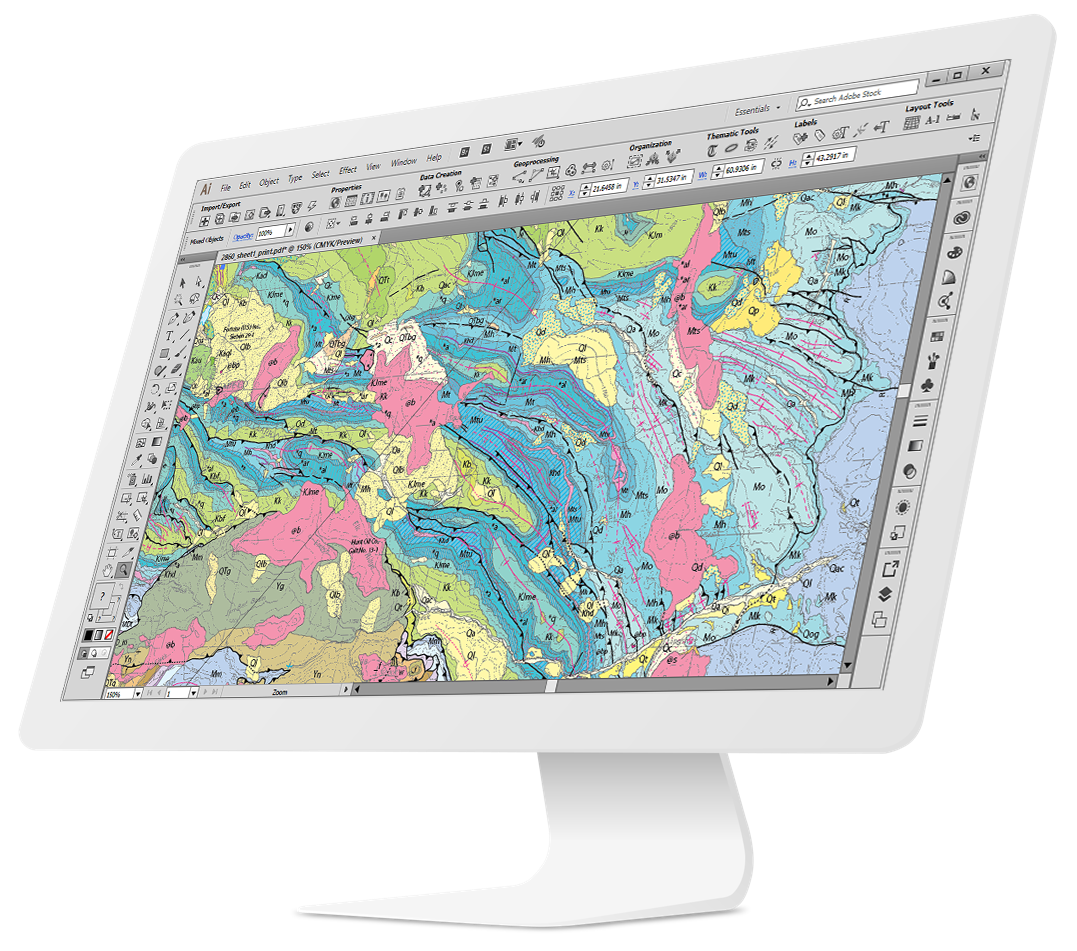
MAPublisher cartography software seamlessly integrates more than fifty GIS mapping tools into Adobe Illustrator to help you create beautiful maps.
Import industry-standard GIS data formats and make crisp, clean maps with all attributes and georeferencing intact using the Adobe Illustrator design environment.
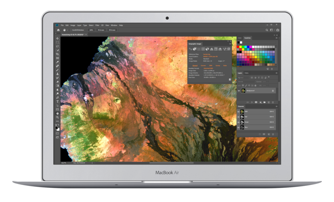
Working With Geospatial Imagery Doesn’t Have to be Complicated
Geographic Imager® mapping software enhances Adobe Photoshop to make working with spatial imagery quick and efficient. It adds tools to import, edit, manipulate and export geospatial images such as aerial and satellite imagery. Enjoy the use of native Adobe Photoshop functions such as transparencies, filters, pixel editing, and image adjustments like brightness, contrast, and curve controls while maintaining spatial referencing.


