A Panoramic Map of Lake Garda Trails
Enrico Casolari
Cartago
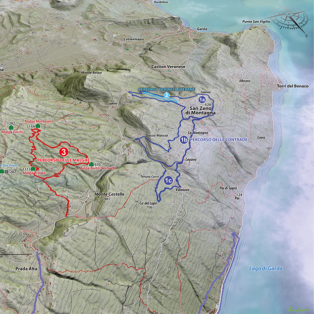
This 3D perspective map highlights the impressive terrain and topography of the Southern Lake Garda region. The map emphasizes major terrain features and popular hiking trails using bright colors contrasted against a natural color landscape with stunning shaded relief effects. To create a more realistic effect, Enrico mimicked cloud cover to give the appearance of a birds-eye view of the region.
The map is displayed on tourism information panels found throughout the nordic walking parks in the region.


