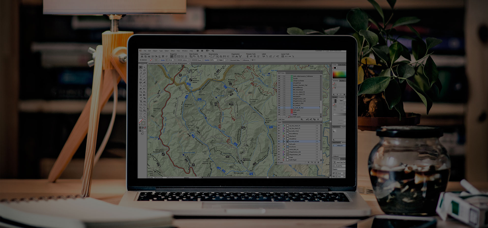
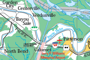
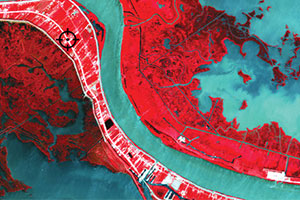
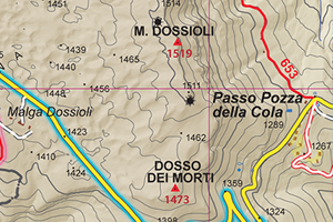
As an avid disc golfer, Richard Rasch has been mapping disc golf courses since 2000, and with the help of MAPublisher since 2001. Richard uses LIDAR elevation in the creation of these large scale maps because of its high level of detail. Its for this reason that LIDAR data is considered revolutionary for many aspects of cartography.
In his presentation, Richard demonstrates how he incorporates LIDAR data into his workflow of making disc golf course maps and tee signs. He shows us how he uses QGIS with MAPublisher to create layers to achieve the correct view for multiple small-footprint course maps. Creating these maps often involves visiting the disc golf courses in person and collecting data for the locations of each tee and hole, as well as the distance and direction/path of each fairway. These types of maps are not always oriented with north at the top so adding base layers like hillshade involves a few extra steps.
Watch the video of Richard’s full presentation at the Avenza UC 2024 and visit his website to check out many more examples of his custom disc golf course maps!
About Avenza UC
The Avenza User Conference is an opportunity to discover exciting new developments with Avenza’s GIS and cartographic solutions and to connect with peers and Avenza team members. Avenza users and staffers from around the globe meet virtually each May to learn what’s new with Avenza Maps, MAPublisher, Geographic Imager, and the Avenza Map Store, and see how they are being used to map our world.
The Avenza User Conference is an free annual event that grows each year with incredible speakers and participants. Get inspired by mapping and industry professionals by joining us for #AvenzaUC2025. Find more information here about next year’s conference taking place on May 8th, 2025.