In this Map Spotlight, we are highlighting a submission from the 2021 Avenza Map Contest: Northern New Jersey Highlands Trails by Jeremy Apgar, with additional contributions from Daniel Chazin. This map features more than 360 miles of marked trails and over 40 parks and preserves in the northern Highlands regions of New Jersey. As the region is located less than a one-hour drive or transit ride from New York City, these trails are very popular. Recent changes and additions to the trails have required accurately updated maps to be created, with this particular map being recreated from scratch and scaled up by 33% from the original.
The map now includes many new features absent in the previous versions, including junction-to-junction trail mileage numbers, a completely rebuilt basemap with new detailed contour lines, revised park boundaries, and more than 5,000 manually-placed text labels and symbols. It also includes several inset maps to cover complex areas, a complete trail index, and park contact information, history, and regulations. On the importance of these maps, Jeremy stated: “During a time when there is a wealth of ‘free but largely unreliable’ trail information online and in popular apps, it is even more important than ever that we provide comprehensive, accurate, and up-to-date trail maps for the parks and trails in our region in a variety of formats.”
This map is available to be purchased from the Avenza Map Store for use in the Avenza Maps mobile app. Physical copies can also be purchased on the New York-New Jersey Trail Conference website, or found at the trailhead kiosks located throughout the region.
Select the images below to see a detailed look at Jeremy’s map
Making the Map
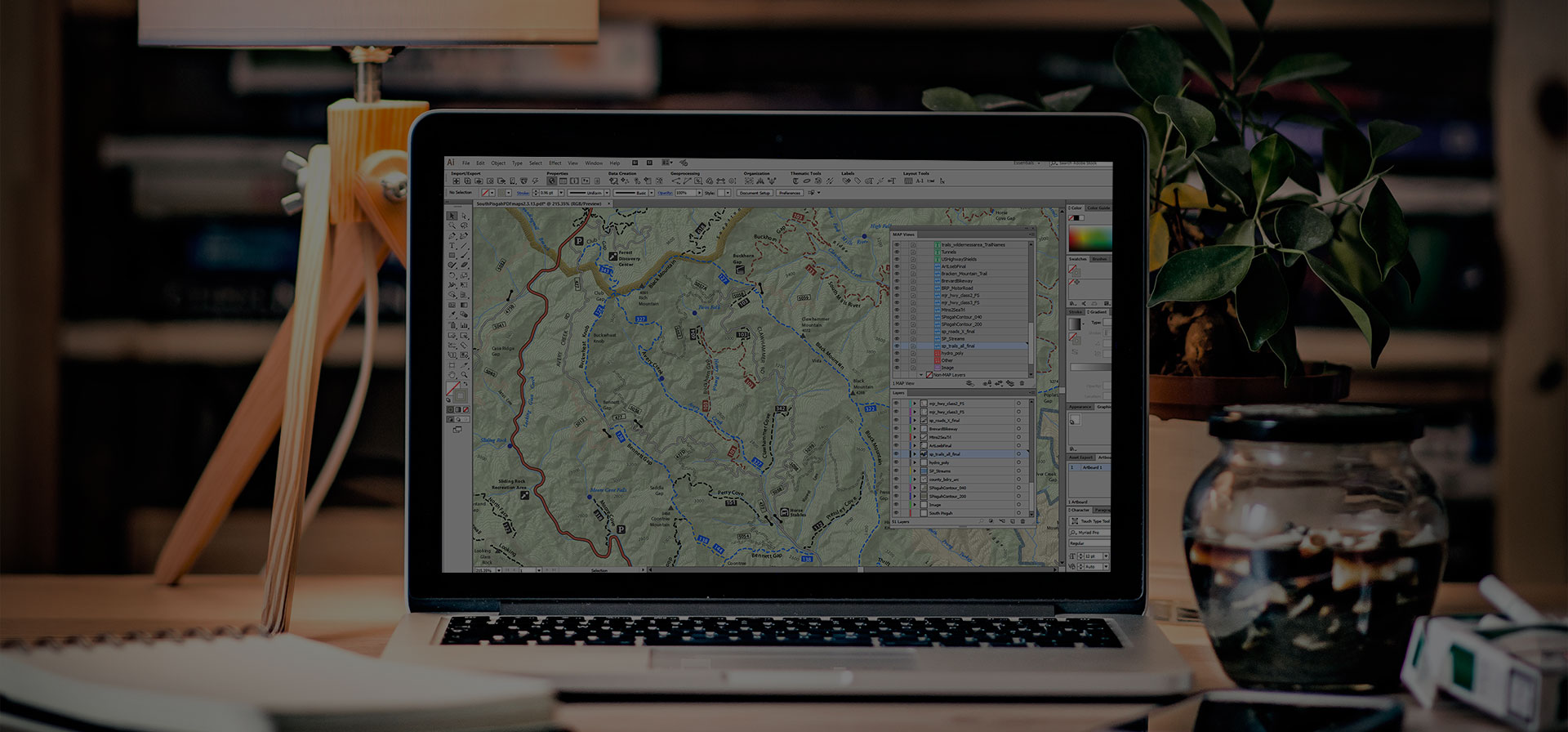
Several MAPublisher tools and functions were used to create this map. Jeremy used the Multiple Data Import tool to aggregate several data formats at once, such as GDB, SHP, and GPX files. Following import, he used the MAP Views panel and editor for setting up the map scale and projection of the document, and also reprojecting data layers in different coordinate systems. The MAP Attributes panel as well as the MAP Selections tool were used to further filter and easily organize imported data.
Jeremy also utilized some of MAPublisher’s Geoprocessing tools in the creation of this very detailed map. The Flip Lines tool was used for some finer linework styling, and the Simplify Art tool was helpful for creating visually appealing contour lines. Finally, Jeremy used the MAP Vector Crop tool to remove any art that was beyond the boundaries of the map.
Jeremy additionally used the Label Features tool, and Layout Tools to create preliminary labels and a scale bar, which were later replaced by manually placed labels and custom graphics.
When his map was finished, Jeremy was able to use the Export Document to Geospatial PDF tool to export his file for its various versions of final products, as well as the Upload to Avenza Map Store feature to easily begin selling it on our Avenza Map Store.
Learn more about the Avenza Map Contest and submit your entry here, and check out our other Map Spotlight blogs here!