MAPublisher 8.4 has an exciting new feature: importing data from web services. It is another enhancement to provide you with more options to access data.

You can import vector data using the Web Feature Service (WFS). It accesses web servers that deliver vector content in GML format. Similarly, you can import raster data with the Web Map Service (WMS). It accesses web servers that deliver raster content in a variety of formats.
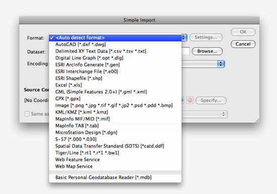
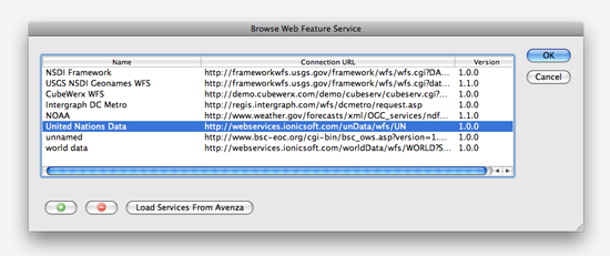
Access the WFS and WMS directly from the Simple or Advanced Import dialog boxes. After selecting either Web Feature Service or Web Map Service from the Format drop-down list, browse for a web service and select one. Of course, you can easily add, remove and manage your favourite WFS/WMS in this dialog box.

After selecting and connecting to a WFS/WMS, simply select features (layers) or rasters you want to import into Adobe Illustrator. At the same time, you will have an option whether or not to save the original datasets in GML format.

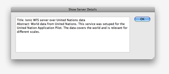
Click the Info button available next to the Server Info at the top of the dialog box. You can see more detail information about the web server.

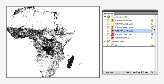
After importing features from the WFS/WMS, each of the features will be in a MAP layer and all the georeferencing of those selected features will be stored in the MAP View.


