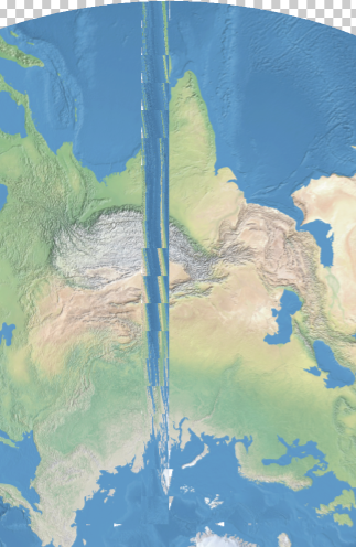
When transforming a world image, there may be artifacts created by the Geographic Imager transformation engine. Below are the results of a WGS84 world image transformed into a Stereographic projection.
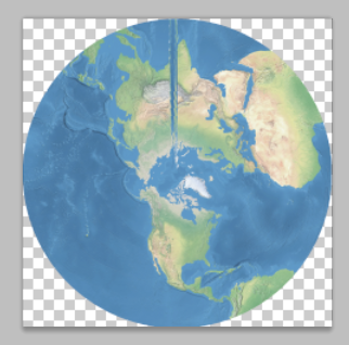
When we zoom into the problematic area, you can see up close how some artifacts affect the image after the transformation was performed.
To solve this issue, we are introducing a new projection method called Maximum: World Projection in Geographic Imager 3.2.
We are going to use the same world image used with the previous example and transform it into the stereographic projection. Take a close look at the Advanced Options.
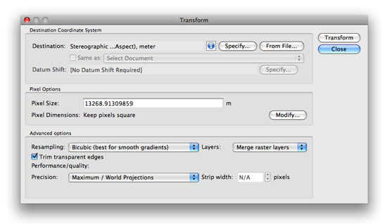
Under the Performance/quality section, select Maximum / World Projections from the Precision drop-down list and click OK.

Below is the result of the transformation with the new method available in Geographic Imager 3.2.
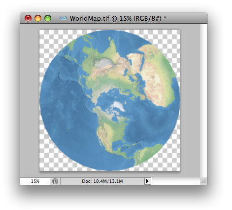
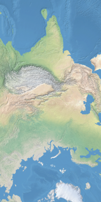
Let’s take a close look at the same area where the problem happened with the previous version of Geographic Imager. Now the transformed image does not contain any artifacts.
This option is available since Geographic Imager 3.2. The official version of Geographic Imager 3.2 is available now.


