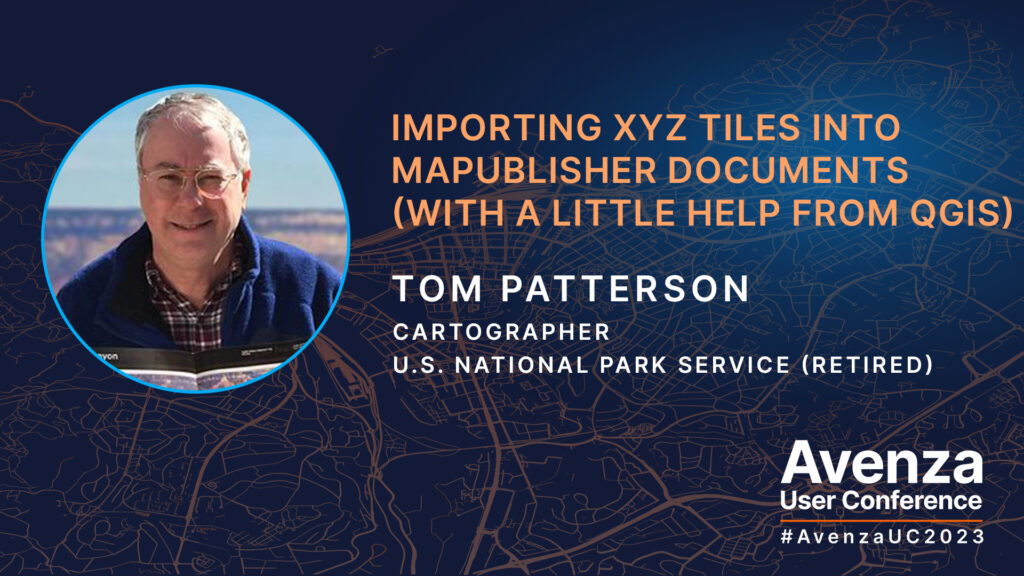
Many cartographers have faced this dilemma: your map needs an extra bit of vector information, such as a missing road, but adding it would involve finding, importing, and sifting through huge datasets. Tom Patterson joined us at Avenza UC 2023 to present an easier solution to this problem with the help of QGIS. Tom showed us a simple way to add satellite images and/or raster reference maps, available as XYZ tiles, to our documents in MAPublisher. The imported images will register with your map regardless of which projection it uses. You can then use these images to manually digitize the missing data on your map in just a few minutes. With a little back and forth between MAPublisher and QGIS, from where the XYZ tiles are exported, you can fill in the gaps in your cartographic data in no time!
Tom demonstrates in his presentation how he would use satellite data from Google or Bing to complete a portion of the coastline of southwestern Tasmania. This method is also how he makes updates to the Natural Earth datasets he maintains on his website.
Check out the video of Tom’s full presentation at the Avenza UC 2023!
About Avenza UC
The Avenza User Conference is an opportunity to discover exciting new developments with Avenza’s GIS and cartographic solutions and to connect with peers and Avenza team members. Avenza users and staffers from around the globe meet virtually each May to learn what’s new with Avenza Maps, MAPublisher, Geographic Imager, and the Avenza Map Store, and see how they are being used to map our world.
The Avenza User Conference is an free annual event that grows each year with incredible speakers and participants. Get inspired by mapping and industry professionals by joining us for #AvenzaUC2025. Find more information here about next year’s conference taking place on May 8th, 2025.


