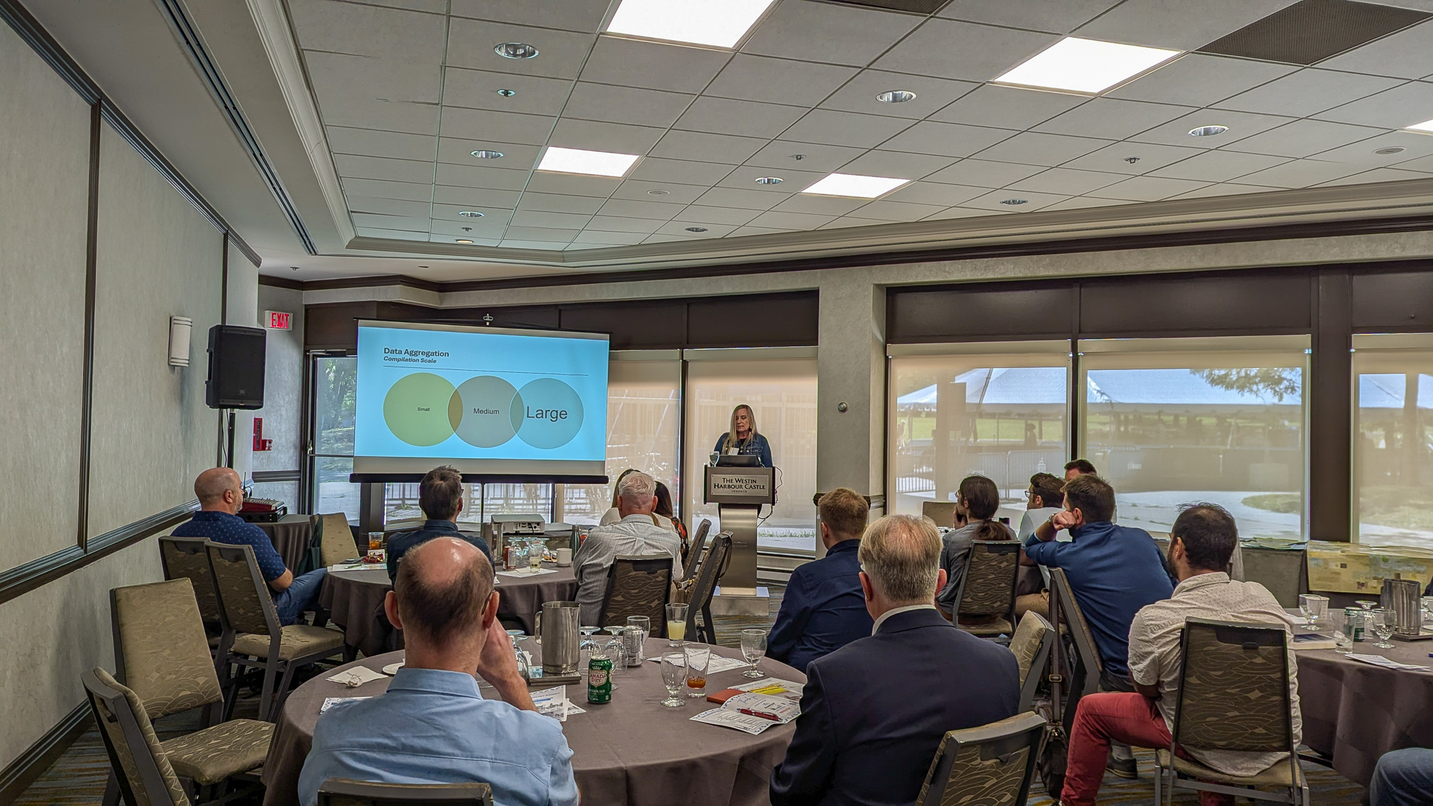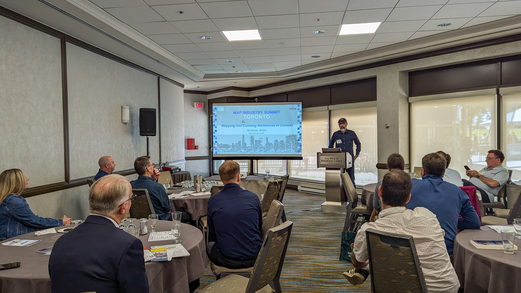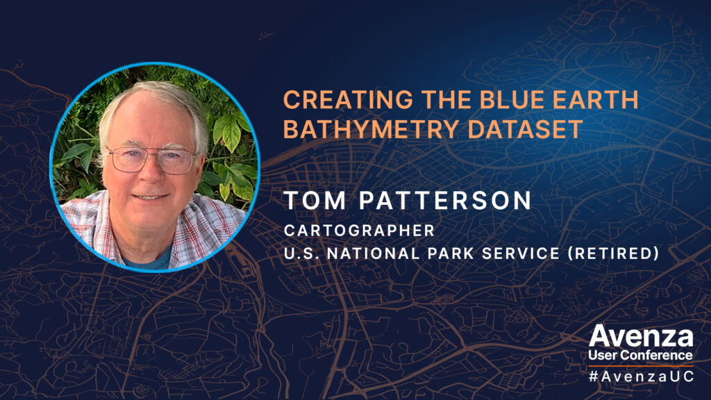
Tom Patterson continues to provide the Cartography community with valuable knowledge and data! This year at the Avenza User Conference 2024, Tom presented to us how he created the Blue Earth Bathymetry raster dataset with the help of Geographic Imager and Adobe Photoshop.
Blue Earth Bathymetry is an edited version of GEBCO (General Bathymetric Chart of the Oceans), a public domain dataset that combines ocean bottom and land elevation data of the entire world. Since GEBCO was derived from a mix of data sources, it contains noisy artifacts. Tom created Blue Earth as a cleaner alternative for making small-scale maps of the seafloor. Tom utilized an unorthodox editing procedure which is unique to Adobe Photoshop and Geographic Imager to remove artifacts and create smoother looking bathymetry. Blue Earth Bathymetry is available for free as a GeoTIFF DEM at 60-arc second resolution (21,600 x 10,800 pixels), as opposed to the original resolution of GEBCO which is 15-arc seconds. This dataset is great for small-scale mapping!
Watch the video of Tom’s full presentation at the Avenza UC 2024 and visit the Shaded Relief website to download and learn more about the Blue Earth Bathymetry dataset!
About Avenza UC
The Avenza User Conference is an opportunity to discover exciting new developments with Avenza’s GIS and cartographic solutions and to connect with peers and Avenza team members. Avenza users and staffers from around the globe meet virtually each May to learn what’s new with Avenza Maps, MAPublisher, Geographic Imager, and the Avenza Map Store, and see how they are being used to map our world.
The Avenza User Conference is an free annual event that grows each year with incredible speakers and participants. Get inspired by mapping and industry professionals by joining us for #AvenzaUC2025. Find more information here about next year’s conference taking place on May 8th, 2025.