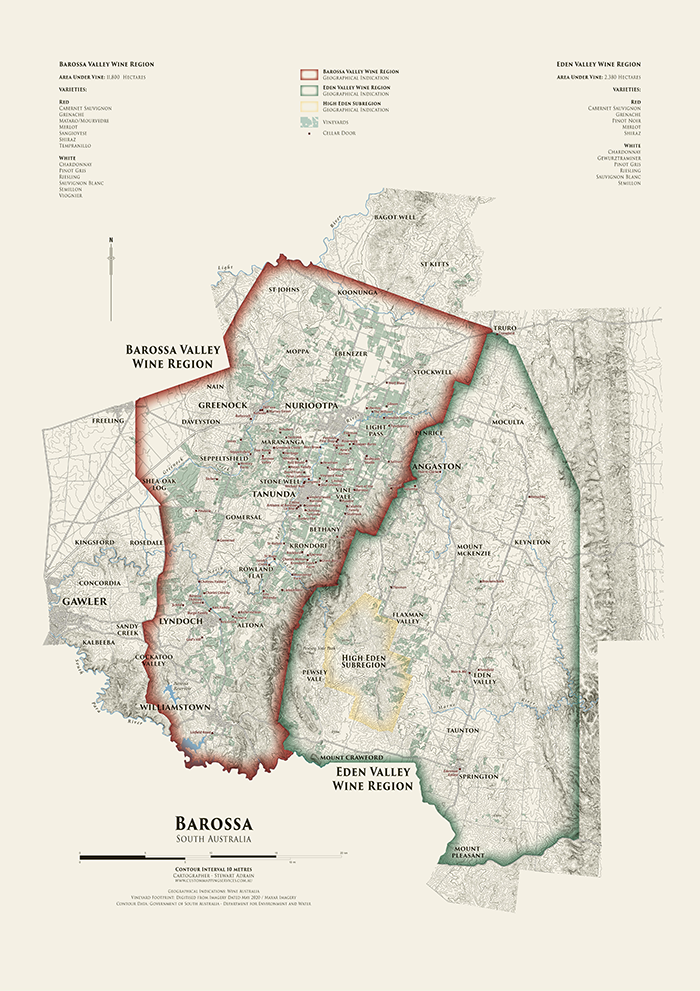
We are showcasing another great submission from the 2021 Avenza Map Competition. This heritage-style decorative map of the Barossa Region of South Australia was created by Stewart Adrain of Custom Mapping Services. The map shows the wine regions, vineyards, cellar doors, and topography of the area. It is the final map in a series of heritage-style cellar wall maps Adrain has created of the wine-growing regions of South Australia. The Barossa Valley wine region is particularly notable for its Shiraz variety.
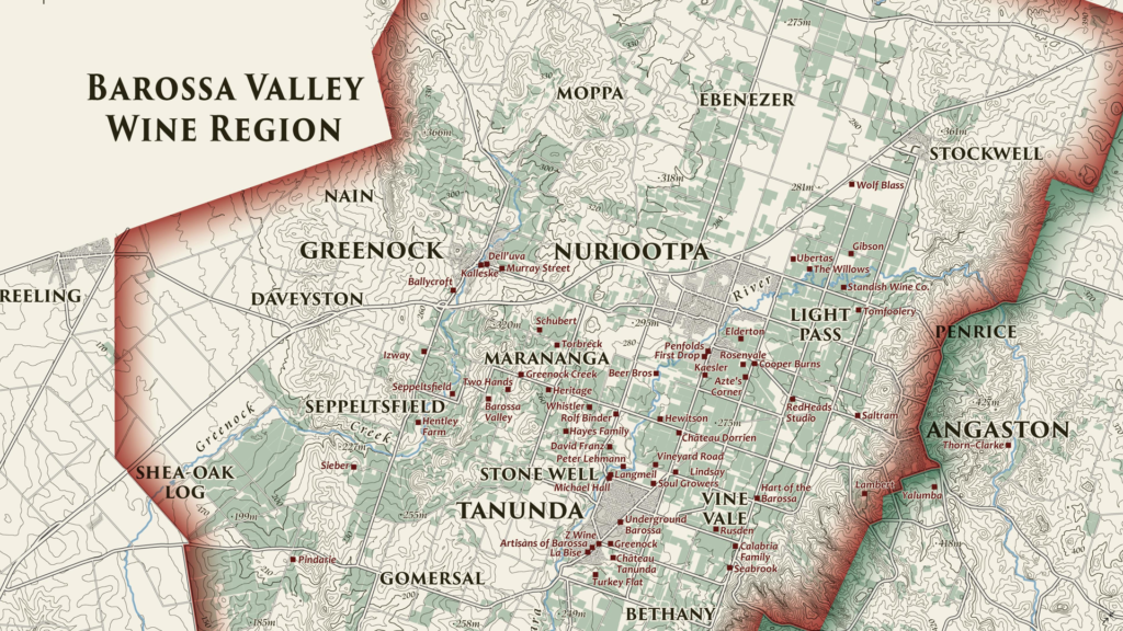
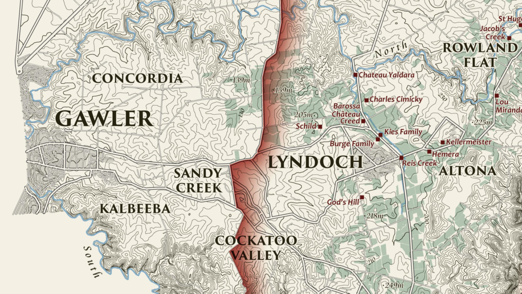
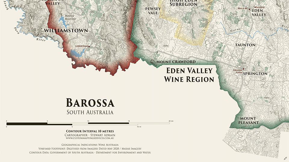
Adrain’s map uses 10-meter contours to display the topography of the Barossa region. Regional wineries are named and indicated on the map, with their locations shown by a point representing their cellar doors. The various localities of the Barossa region are also labelled, and the two main wine regions as well as the High Eden Subregion are displayed using colourful borders. The supplemental text of the map features the total area of vineyards in each wine region, as well as the wine varieties they produce. This map as well as the others in Adrain’s Cellar Wall map series can be purchased for print from Meridian Maps.
Select the images below to see a detailed look at Stewart’s map
Making the Map
Adrain completed his data processing with QGIS and then used the Avenza MAPublisher plugin for Adobe Illustrator as a finishing tool to design the final map product. He used the Multiple Data Import tool to easily get all of his data into MAPublisher with a single import process. MAPublisher maintains the georeferencing of the data imported from other GIS software, so he could quickly turn his focus to the map’s stylization rather than data placement. Adrain used MAP Themes to easily achieve his stylization, which allowed him to automate much of the design process of the map, keeping the theme of this map in line with the other maps in the series.
Adrain simplified his labelling process by using our MAPublisher LabelPro add-on. This allowed him to create label themes based on the layer they were being applied to. Since this map was the last in the series, these themes were already created so he could simply import his settings from his previous maps to save time. The LabelPro feature is convenient for both time-saving purposes and ensuring consistency across maps in a series.
Finally, Adrain added a scale bar using MAPublisher and completed the finishing touches to his map with native Adobe Illustrator tools.
For more information on using the MAPublisher LabelPro add-on, please visit our Support Centre section for this tool. Check out our other Map Gallery Spotlight blogs here!


